Black Butte - Deschutes National Forest

Sunday, October 18, 2015

Black Butte is a strikingly obvious hike as you drive over the Santiam Pass. It may sit prominently near the town of Sisters, but it is often dwarfed by the Three Sisters mountain range nearby and views of Mt. Jefferson, Mt. Washington and Three Fingered Jack. Still, it's a great 3.8 mile hike which takes you up above the tree line with wonderful views of Central Oregon. It is a definite must-hike if you are visiting in Sisters for a day or two. Be warned, it is 1.9 miles uphill, there are no flat breaks on this hike. But the reward at the top is worth it, you will be glad you did this one.

To get there, follow Highway 20 East to Green Ridge Road 11, there will be signs for Indian Ford Campground. Take this road for 3.8 miles, turn left on Road 1110 and follow it 5.1 miles to teh parking area at the end.

Cheers!


Timothy Lake - Mt. Hood National Forest

Back in July we spent a weekend camping at Meditation Point on Timothy Lake. This peaceful spot provided camp sites on the water, but removed us from the busier drive-in style camping on the other side of the lake. We hiked in about 1 mile with our gear, set up our camp site and relaxed for the evening. The next morning we tackled the 12 mile loop around the lake, a very flat walkable route that can be accomplished in 4-5 hours. The lake is a very popular destination for Oregon campers, so be prepared for camp sites to fill up by Friday afternoon.

The hike itself follows the outline of the lake, where at one point you join up with the Pacific Crest Trail on the east side. It's a great hike for a hot summer day; there are plenty of opportunities to jump in and cool off along the way.

To get there: take U.S. Highway 26 toward Mt. Hood. Take the turnoff between mileposts 65 and 66, you will see a sign for Timothy Lake. Take Road 42 for four miles then turn right on to Abbott Road for 1.4 miles to Little Crater Campground.

Cheers!


Ramona Falls - Mt. Hood Wilderness

Another day, another waterfall hike. Ramona Falls is a very popular route. A 7.1 mile loop over 3.5 hours, with views of Mt. Hood, the Sandy River and a 120 foot waterfall. Do not be deterred by the distance, it's a relatively easy hike with little elevation gain. Rather than go on and on, since I've got 4 other posts to get to, I will let the photos convince you.

To get there, take U.S. Highway 26 east toward Mt. Hood, turn left onto East Lolo Pass Road and go 4.2 miles, then turn right on to Road 1825. Drive .7 mile and turn right across the Sandy River, continue another 1.8 miles to the large parking area at the end of the road. Cheers!


Cooper Spur - Mt. Hood Wilderness

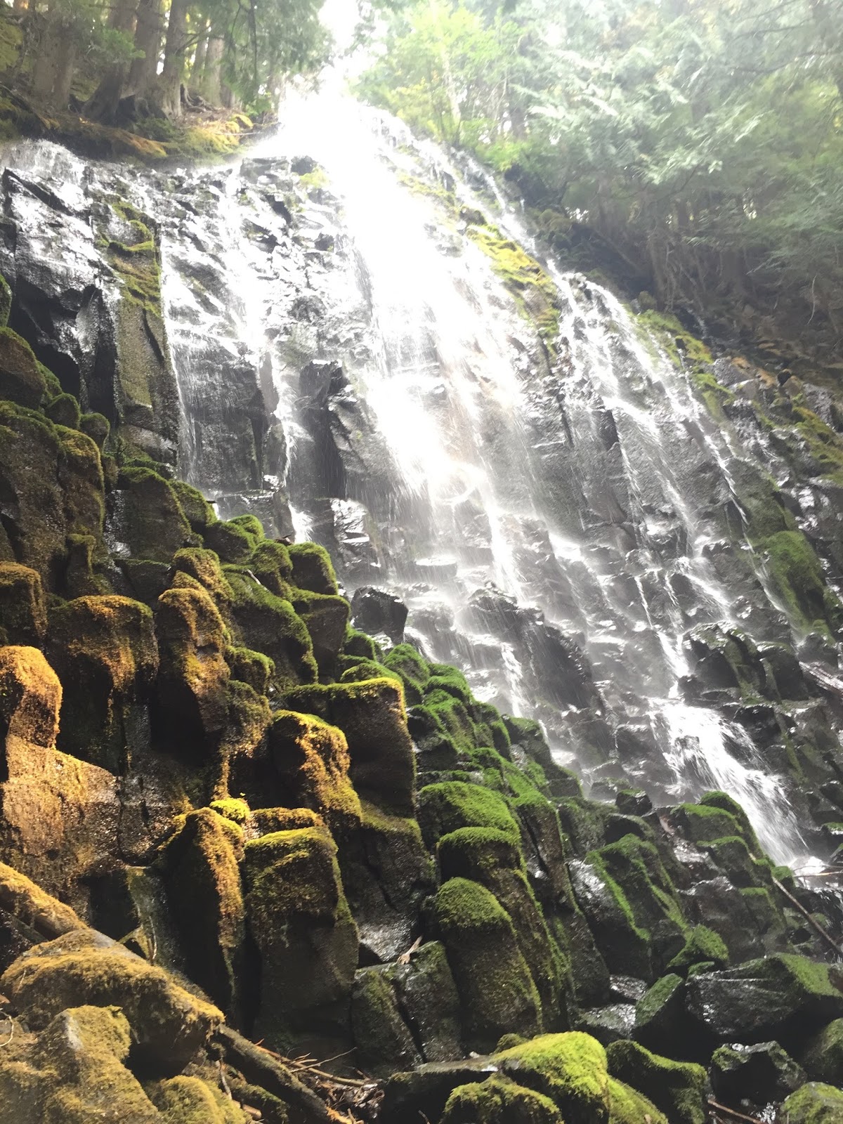
The month of August I was fortunate enough to work remotely in the town of Parkdale. It's a small township about 20 minutes south of Hood River. While there, I was able to explore the east side of Mt. Hood. This side of the mountain is beautiful, less crowded and offers unique views most Portlanders miss from their city perspective.

The hike itself is not easy, it's 6.8 miles roundtrip, taking about 4 hours. It is definitely a top 10 hike for me though, you feel like you are are atop the summit of Mt. Hood. (Even though you are still very far away.) While hiking you will pass a stone shelter as you steadily climb toward your destination. At the top you will see views of the Eliot Glacier, Mt. Jefferson, the Washington Cascades and beyond. Because this is a summer hike and is very exposed for the majority of your trek, bring SPF 50 with zinc & a good bucket hat. The sun is no joke out there.

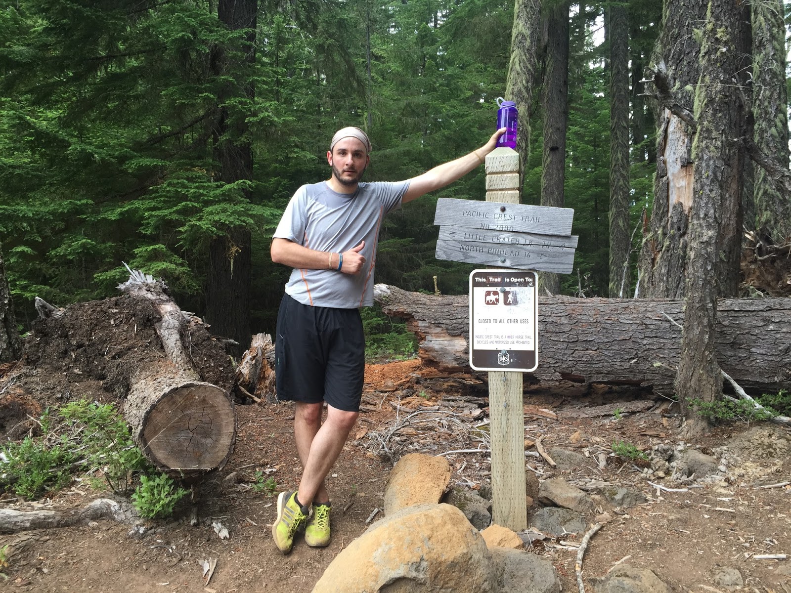
To get to the trailhead, take Highway 35 and turn between mileposts 73 and 72 on to Cooper Spur Road. Stay on this road for 3.3. miles to the Tilly Jane Junction then turn left on Road 3512 for 10.3 miles to the Cloud Cap Campground. You don't need a 4WD car, but it doesn't hurt. Enjoy the photos and the cameo by Conner at surprisingly...Double Mountain Brewery.


Latest Instagrams

© take a hike. Design by FCD.