Also, it is advisable to hike this in June-September, we hit snow pack at the Cache Meadow trailhead and decided this was a good time to turn around. As far as getting there, take Highway 224 toward Estacada. Keep right at the junction for North Fork Lake, stay on 224 for 19.6 miles turning left onto Pipeline Road toward Three Lynx. Drive .6 miles, you will pass through the small PGE town of Three Lynx, it will have a Children of the Corn vibe going on. Continue past this community for .9 miles and you will see the trailhead on the left right before the large pipeline and radio tower.
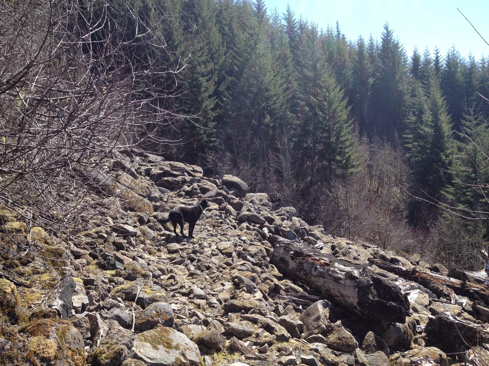
While we were unable to complete the Serene Lake Loop, I am determined to go back and finish what we started. Maybe next year we will turn it into an overnight trip, also note this trail is named Cripple Creek for a reason, it is a steep one, expect to see elevation gain of around 1800 feet.


Post a Comment