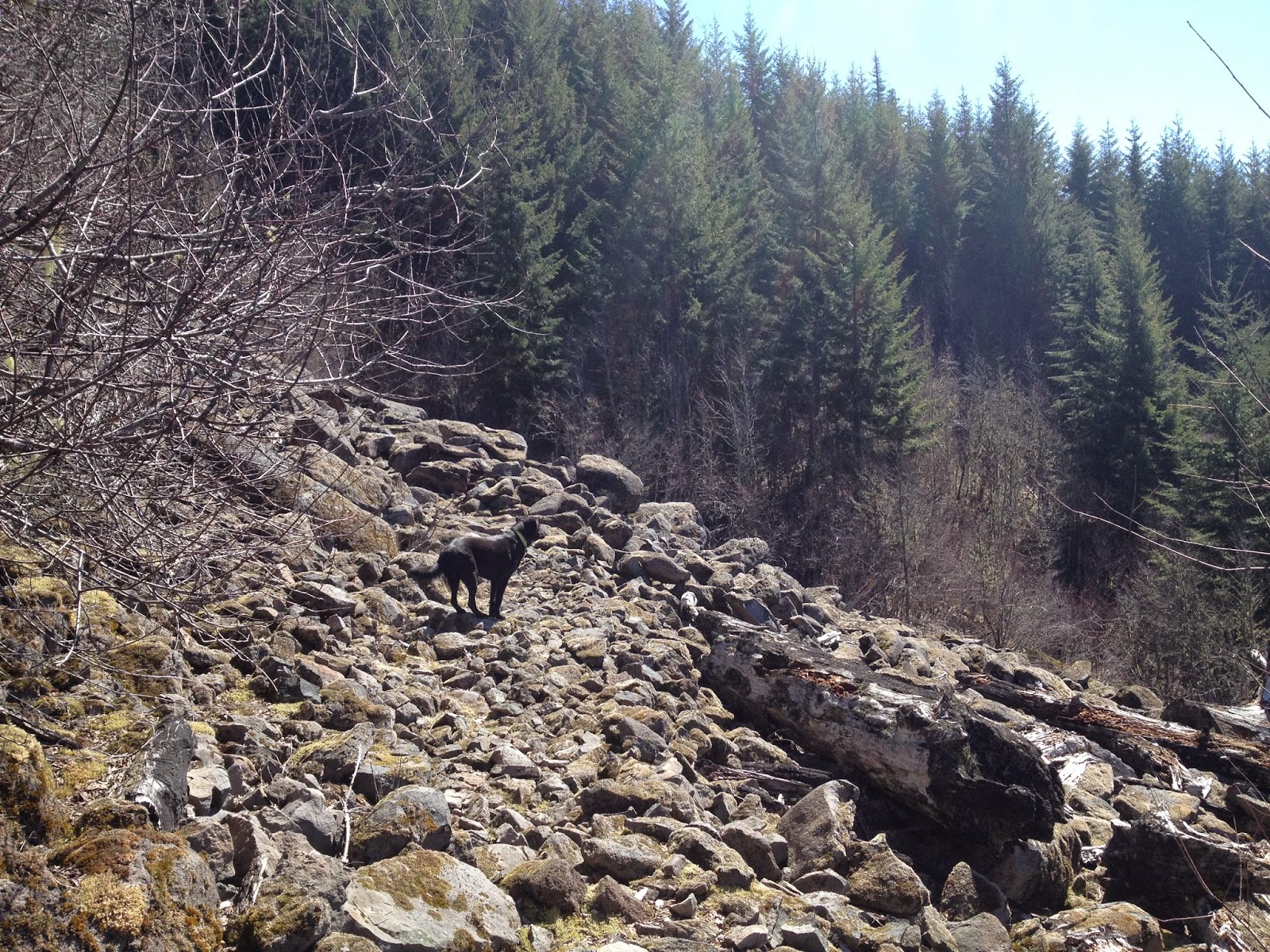
Mike and I were looking for an easy day hike close to Sisters, cue McKenzie River Trail enter stage right. A 4.2 mile hike, taking around 2 hours, hikes smoothly along the McKenzie River through the old growth forest and lava fields. The pool is a crystal clear blue with temperatures as warm as 37 degrees Fahrenheit.
For a winding ride back into Sisters during the months of late July through September, take the McKenzie-Santiam Pass and stop off at the Dee Wright Observatory for a look at Oregon's 65 square miles of lava flow.
Tamolitch Pool, Willamette National Forest
Wednesday, September 3, 2014
An amazing hike which gives you instant gratification as you hike above Three Creeks Lake. While I have not completed the 9.4 mile route to Broken Top, hiking 2 miles up to get the views of the Three Sisters, Jefferson, Black Butte, Mt. Washington is rewarding enough.
Getting there is easy, take Elm Street in Sisters south which becomes Road 16 for 15.7 miles to the trailhead on the left.
A easy day hike in nearby Sisters is Whychus Creek. The trail is 4.5 miles roundtrip and has undergone a makeover in the last few years as a result of the 2012 Pole Creek Fire. You now have to hike about a mile in to the original trailhead past a graveyard of burned trees. This is the perfect hike for those looking for a quick morning hike on their way back to the valley from Bend.
To get there take Elm Street in Sisters for 7 miles, turn right at the sign marked Whychus Creek (FS 1514). Travel 5 miles on this gravel road and then turn left onto the unimproved road 600. Follow this road to the trailhead.
We had a very dry winter this year, which allowed us to do some winter hikes without snow shoes. One of those hikes was Elk Meadows in the Mt. Hood Wilderness. This is 5.3 miles roundtrip, out and back, around 2.5 hours. There is a moderate elevation gain once you traverse Newton Creek, which required some finesse with three dogs in January.
To access the trailhead take Highway 26 east passing Government Camp. Bear to the right taking Highway 35 toward Hood River for 8.3 miles. Go 1.5 miles past the Mount Hood Meadows turnoff and turn left for the Clark Creek Sno-Park Loop for .3 miles, finding the trailhead on your right.
I'm cold just looking at these pictures. Rita and I are wishing we had one more month of summer.
To access the trailhead take Highway 26 east passing Government Camp. Bear to the right taking Highway 35 toward Hood River for 8.3 miles. Go 1.5 miles past the Mount Hood Meadows turnoff and turn left for the Clark Creek Sno-Park Loop for .3 miles, finding the trailhead on your right.
I'm cold just looking at these pictures. Rita and I are wishing we had one more month of summer.
Not every hike we choose goes according to plan. For this one we were attempting to hike to Serene Lake, we took a wrong turn somewhere along the way and referred to our map. We noticed trailhead 703 (Cripple Creek) would connect us to our original destination and decided to try it, without the guidebook or having any inkling how far and steep this trail would be...Cripple Creek to Serene Lake Loop is 10.8 miles total, taking around 6-8 hours to complete...well that would have been helpful to know considering we started this hike in the late afternoon.
Also, it is advisable to hike this in June-September, we hit snow pack at the Cache Meadow trailhead and decided this was a good time to turn around. As far as getting there, take Highway 224 toward Estacada. Keep right at the junction for North Fork Lake, stay on 224 for 19.6 miles turning left onto Pipeline Road toward Three Lynx. Drive .6 miles, you will pass through the small PGE town of Three Lynx, it will have a Children of the Corn vibe going on. Continue past this community for .9 miles and you will see the trailhead on the left right before the large pipeline and radio tower.
While we were unable to complete the Serene Lake Loop, I am determined to go back and finish what we started. Maybe next year we will turn it into an overnight trip, also note this trail is named Cripple Creek for a reason, it is a steep one, expect to see elevation gain of around 1800 feet.
Also, it is advisable to hike this in June-September, we hit snow pack at the Cache Meadow trailhead and decided this was a good time to turn around. As far as getting there, take Highway 224 toward Estacada. Keep right at the junction for North Fork Lake, stay on 224 for 19.6 miles turning left onto Pipeline Road toward Three Lynx. Drive .6 miles, you will pass through the small PGE town of Three Lynx, it will have a Children of the Corn vibe going on. Continue past this community for .9 miles and you will see the trailhead on the left right before the large pipeline and radio tower.
While we were unable to complete the Serene Lake Loop, I am determined to go back and finish what we started. Maybe next year we will turn it into an overnight trip, also note this trail is named Cripple Creek for a reason, it is a steep one, expect to see elevation gain of around 1800 feet.
Subscribe to:
Posts (Atom)