Some serious slacking is attributed to myself over the last few months. I have not blogged about a hike since August! Although there was plenty of hiking between then and now, a few other events, mainly Mike & I's wedding and Adam & Elaine's wedding took precedence. But now I am finally free from the day-to-day planning activities that go along with a wedding and I am able to reflect on some incredible hikes we accomplished this summer.
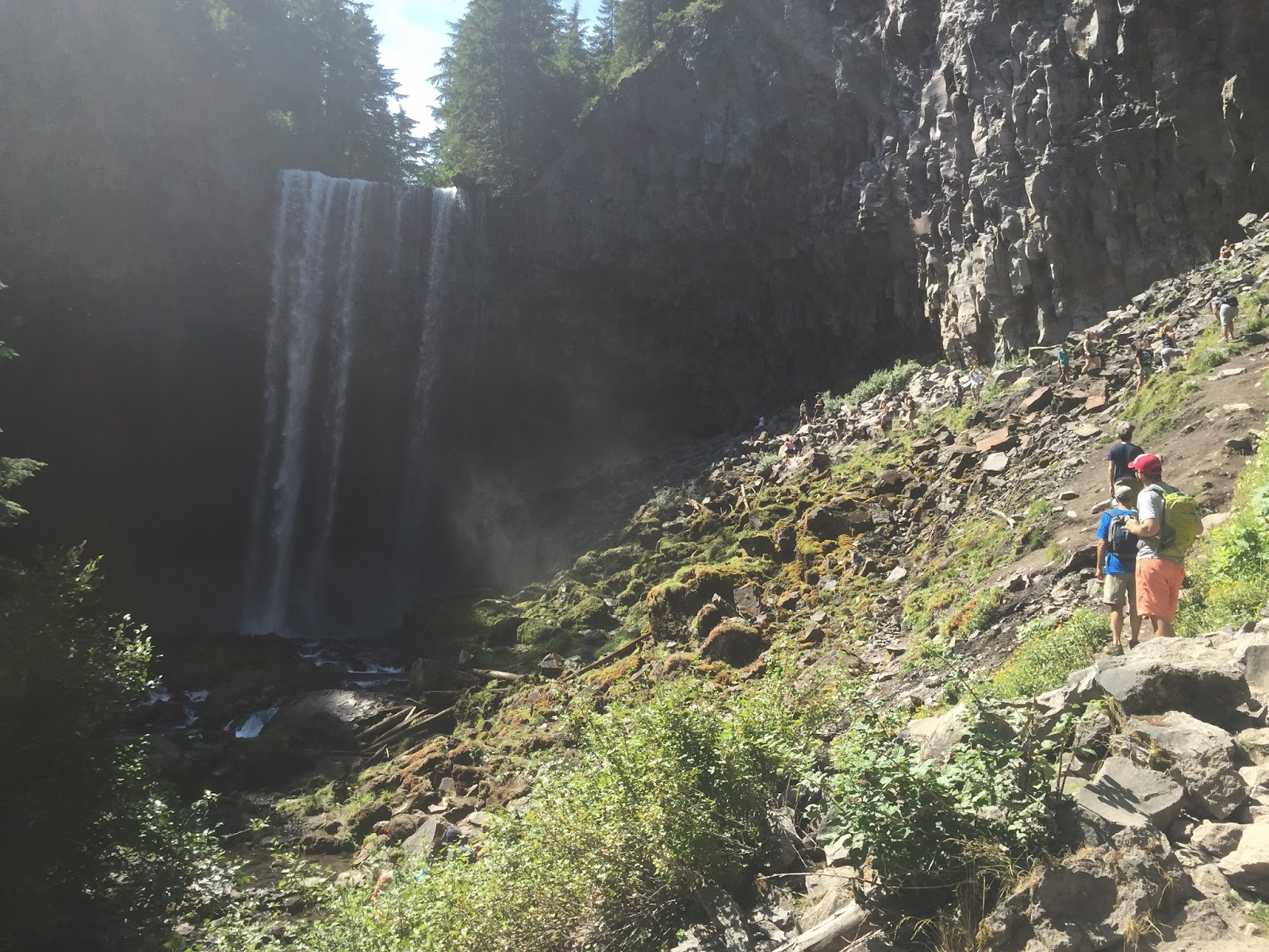
I will start with Tamanawas Falls. This is a hike I have seen on Oregonlive over the years, but for whatever reason it slipped through the cracks. This is a 5.6 mile hike which is very family friendly and busy on summer weekends. If you want to avoid the crowds, try to hike this in the late fall during the week. It is roughly a 2 hour climb through the Mt. Hood National Forest off of Highway 35 on the east side of Mt. Hood. Mike and I loved this hike, it was a brutally hot summer this year and this hike abuts to Cold Spring Creek, providing much needed relief from the heat. The trail concludes at a 100 foot waterfall, one which you can hike up and sit behind. We skipped this portion due to the large crowds, but hopefully we will get back there in the fall.
Getting to Tamanawas Falls is easy. Take Highway 35 to milepost 72. The hike starts right off the freeway, you will see other cars and a port-o-potty at the trailhead. If you've got extra time in your day, definitely drive to Hood River and hit up Double Mountain Brewery. You can see how excited Mike was for his heirloom pizza. Cheers.
Tory
Tamanawas Falls -Mt. Hood National Forest
Sunday, October 18, 2015
Sahalie Falls to Tamolitch Pool
Sunday, August 16, 2015
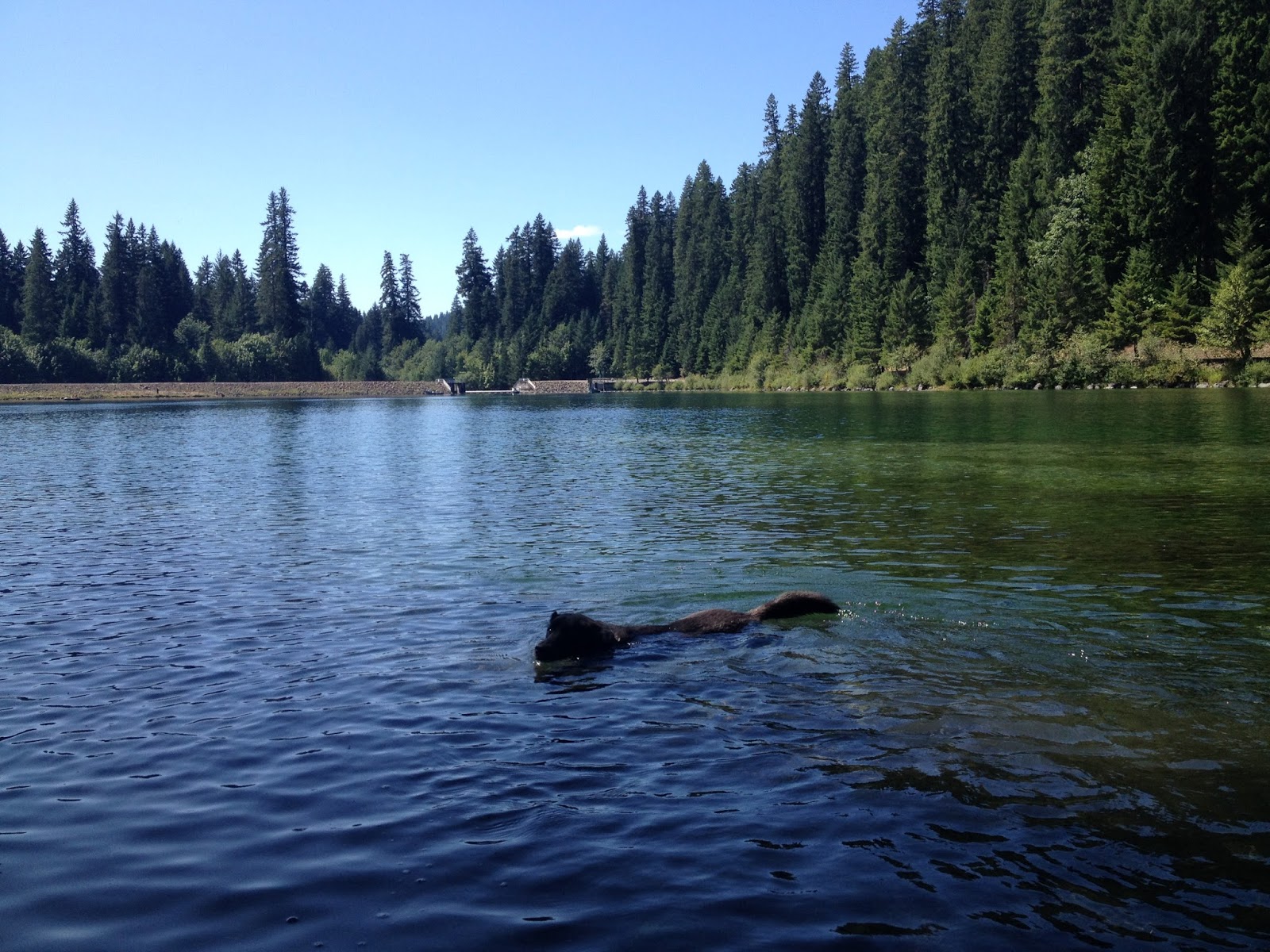
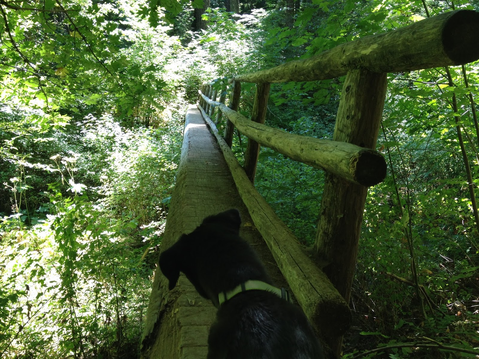
For this hike, I started out at Sahalie Falls off of Highway 126, about a 30 minute drive from Sisters. If you are looking for a flat waterfall hike with lots of trees, there is no better place than the McKenzie River Trail. Park at the Sahalie Falls lot and walk a few hundred feet to your first waterfall. You have a few options in this area, you can opt for the waterfall loop which is 2.6 miles roundtrip and hugs the McKenzie River or venture further to Tamolitch Pool. If you are looking for more distance and fewer people, head downstream for an additional 3.4 miles to Tamolitch Pool. This hike takes you past Carmen Reservoir and follows a dry bed for over 3 miles, so bring water, your dogs will appreciate it. I tackled this trail on a Saturday and passed a handful of bikers and 6 or 7 hikers, which for this destination's popularity is shockingly low. Most people stay near the falls or hike to Tamolitch further down the road. I found this to be the perfect distance hike, I was tired at the end, but not exhausted. Rita and Lola hit the backseat of the car and snoozed all the way home. There is virtually no elevation gain on this hike, which after posting about the South Sister Summit hike, is definitely a blessing. We covered 9.5 miles, took a few detours to get closer to Koosah Falls and then down to Tamolitch Pool. Enjoy.
Tory
Tory
Easily the most punishing hike I will ever do, South Sister Summit is one of those hikes that cements your status as an "Oregonian". We started this hike around 6:30AM from the Devil's Lake trailhead off of the Cascade Lakes Scenic Highway. Total distance roundtrip was 11 miles with an elevation gain of 4900 feet. At no point during this hike, maybe the brief flat walk from Moraine Lake, do you ever find relief. Yet, this is a beautiful hike and one of the few summits you can reach without technical gear. I highly recommend bringing poles though, otherwise you will be falling all over the place as you start the final summit past teardrop pool. If you've got time and the gear, it's best to hike to Moraine Lake, set up shop overnight, then continue to the summit early the next day. One thing about this hike, it is insanely crowded. It is open from May-September with weekends seeing an upwards of 500+ people. If you want to avoid the crowds, try to summit on a weekday or camp overnight and get a head start from Moraine Lake. Enjoy the pictures, I still have PTSD from this hike, when I see these pictures all I think about is my calves exploding. Cheers.
Tory
Check out the hiking path below - courtesy of the Garmin Forerunner which tracks your location as you hike. It does not show the entire hike, I turned on the tracker about a mile or so in to the hike and then the watch died at the summit.
Tory
Check out the hiking path below - courtesy of the Garmin Forerunner which tracks your location as you hike. It does not show the entire hike, I turned on the tracker about a mile or so in to the hike and then the watch died at the summit.
Subscribe to:
Posts (Atom)