Table Mountain - Gifford Pinchot National Forest

Tuesday, February 17, 2015

Located on the Washington side of the Gorge, Table Mountain is a must-do hike for all viewpoint enthusiasts. I admit, I tend to pick hikes with big views, which usually entails some serious elevation gain. Table Mountain is no exception. We opted to start this hike at the Aldrich Butte Trailhead, it's a little tricky to find, but it shaves some miles off the overall trip. The trail is predominately uphill for 4 miles, there is very little opportunity for a forgiving level walk. I highly recommend bringing a trail book or detailed map if you are a first timer, there are many unmarked turns which are easily overlooked.

The highlight of the 8 mile hike is the summit, you will see views of Mt. St. Helens, Mt. Rainier, Mt. Adams and Mt. Hood, not to mention the Columbia River stretching for miles. The part of the hike which I would like to forget but never will, is the Heartbreak Ridge portion of the trail. This is a more direct way to the summit, but it literally (and I mean literally) is straight up. You will likely be swearing and cursing me for suggesting this hike, but the view is well worth the suffering. Not far past Heartbreak Ridge is another portion of a rock scramble. This part of the hike is not so much difficult, rather it's slow moving. And dogs hate it. Essentially, you climb up and over a rock slide to the marked path, there will be the occasional red flag trail marker to remind you to keep on trucking.

I could keep rambling but as I always say, I will let the pictures convince you. 3,350ft of elevation gain makes for a great selfie!


Eagle Creek to Tunnel Falls - Mt. Hood National Forest

Tuesday, January 13, 2015

From Portland, take I-84 East to exit 41 where you will find the Eagle Creek Trailhead. I gotta say, this is a trail I've heard about for the last few years and I am finally able to check it off the list. A 12 mile out and back hike, this is an amazing jaunt for a rainy day, however in the future I will likely leave Rita & Lola at home. The steep cliffs and muddy paths are not ideal for dogs. This trail takes you past Punch Bowl Falls and numerous other falls as you skirt along Eagle Creek. Take your time, enjoy the views and the sounds, for us this was roughly a 5 hour hike. Cheers.


Neahkahnie Mountain - Oswald West State Park

Monday, January 5, 2015

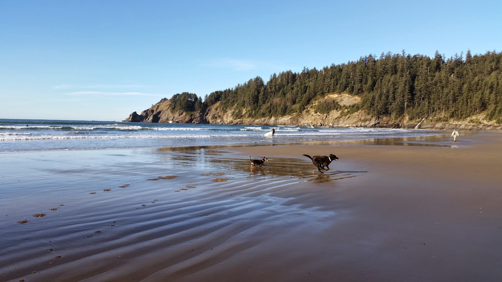
Start of a new year means it's time to drag our loaves up a mountain. We parked off of Highway 101 at a scenic viewpoint, crossed the road and started up where the trail reads "Oregon Coast Trail." For January, we had a clear blue day with temperatures in the mid 40s, we quickly dropped our jackets as this hike is mostly switchbacks all the way to the top. The trail is relatively easy to follow and pretty popular with day hikers, yet Mike and I still managed to off road while we were staring at an enormous pine. We eventually found our way back to the trail and continued at our sluggish pace. It took us roughly an hour to go 2 miles. At the top we had the option of looping back down, but we opted to retrace our steps and return the way we came.

Overall this was a great hike to remind you of your physical shortcomings. On a clear day I definitely recommend it, if you are looking for a summit view of the Oregon Coast. We were eager to head back down as we never miss an opportunity to eat Fish & Chips at Bill's in Cannon Beach.  Some of the earlier beach pictures are from Cape Falcon, we were unable to hike the cape due to a windstorm, hoping to head back there this summer. Happy New Year and Happy Trails!


Maple Trail, Forest Park Portland, Oregon

Monday, October 20, 2014

Sometimes it's nice to find a hike closer to home, particularly if the Bears and the Jags are playing at 10:00 AM on the west coast. Forest Park is one of the country's largest urban parks spanning an impressive 5,100 acres virtually in downtown Portland, Oregon. It's fun to explore the 70 miles of trails in this park and get a visual of what Portland looked liked before city life.

We took our out-of-towners to the Maple Trail, hoping to see the maples transitioning from green to yellow. And while some of our deiciduous counterparts have embraced fall, most of the trees here in Portland are still clinging on to summer. So, as a result the trail was still mostly green, but beautiful nonetheless.

To get to the Maple Trail we took Highway 30 to Salztman Road. We followed Saltzman Road for roughly 1 mile until we saw the signage pointing us to the Maple Trail. We looped it back for a 3 mile hike roundtrip by cutting through on the Quarry Trail which brings you back to Saltzman Road further uphill. I'm hoping to return in a few weeks to see the changing leaves.

Tory


Latest Instagrams

© take a hike. Design by FCD.