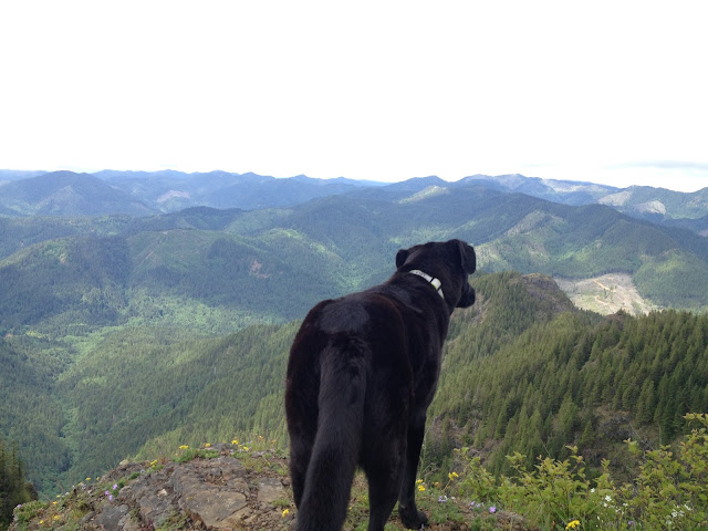
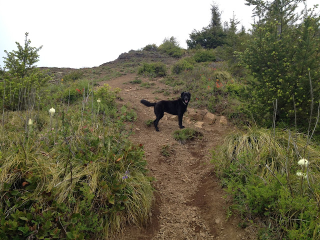
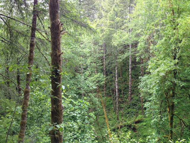
I was looking for a close-to-Portland hike with views and a distance range under 6 miles. I skimmed my Moon hiking book and found King's Mountain. An hour from Portland, 5 miles roundtrip, views of the Cascade Range...boom. Done. Well, maybe next time I will do a little more research. This hike was a beast, and I like to think I'm in fairly good shape and can manage on most of these inclines. Apparently not. The hike pretty much went like this: 2.5 miles straight up, elevation gain from 0 to 2500+, a purgatoryesque incline that leaves you unsure of when it will end. I packed a Nalgene of club soda and left the dog's water in the car, thinking that this hike is mostly shaded and the dogs will crush it in an hour. Wrong, after the first 20 minutes we were huffing and puffing, which continued for another hour or so. At one point, we reached a false summit and I was thrilled to be done. Then I realized the trail kept going...more switchbacks, more climbing, more tears. Anyway, we made it to the top and the views were beautiful. One of the benefits of aggressive hikes is you don't see many people, I went on Memorial Day and maybe passed 8 people total.
To get to the hike take Highway 26 toward the Oregon Coast, stay to the left onto Highway 6 and follow for 26 miles to the trailhead. The trailhead is right off of the highway and hard to miss. Don't say I didn't warn you about the steepness. Most hiking blogs I've read use the word "steep" occasionally to describe this hike when in reality it should say "your legs will disintegrate beneath you", that is far more accurate. Enjoy the pictures! (which uploaded out of order)


